
SVG 파일의 PNG 형식의 미리보기 크기: 600 × 400 픽셀. 다른 해상도: 320 × 213 픽셀 | 640 × 427 픽셀 | 1,024 × 683 픽셀 | 1,280 × 853 픽셀 | 2,560 × 1,707 픽셀
원본 파일 (SVG 파일, 실제 크기 600 × 400 픽셀, 파일 크기: 960 바이트)
파일 설명
| 설명 |
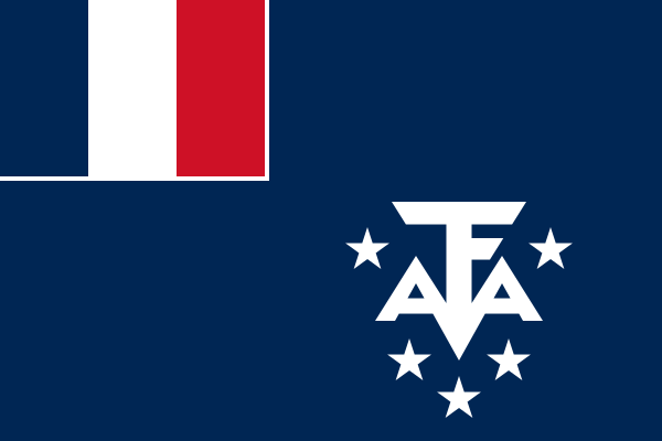
Français : Drapeau des Terres australes et antarctiques françaises
Brezhoneg: Banniel Tiriad Douaroù Aostral hag Antarktikel Frañs
English: Flag of the en:French Southern and Antarctic Lands, official since 23 February 2007
Italiano: Bandiera dei Territori francesi meridionali
Occitan : Drapèu de las Tèrras australas e antarticas francesas
Nederlands: Vlag van de Franse Zuidelijke en Antarctische Landen |
| 날짜 | |
| 출처 | Proportions and colors are taken from the TAAF's official website as seen on 17 January 2023 (archived). |
| 저자 | Académie de Grenoble |
라이선스
| This image from the Xrmap flag collection (source: flags-2.6-src.tar.bz2). The README file in that collection says of the SVG flags "We release them in the public domain". |
| This work has been released into the public domain by its copyright holder, Xrmap. This applies worldwide. 만약 저작권의 포기가 법률적으로 가능하지 않은 경우, Xrmap은 이 작품을 법적으로 허용되는 한도 내에서 누구나 자유롭게 어떤 목적으로도 제한 없이 사용할 수 있도록 허용합니다.
|

|
이 그림은 깃발, 국장 등의 공식 휘장을 나타내고 있습니다. 이러한 그림의 사용은 많은 나라에서 제한되어 있습니다. 이 제한은 저작권과는 별개로 적용됩니다. |
파일 역사
날짜/시간 링크를 클릭하면 해당 시간의 파일을 볼 수 있습니다.
| 날짜/시간 | 섬네일 | 크기 | 사용자 | 설명 | |
|---|---|---|---|---|---|
| 현재 | 2024년 4월 13일 (토) 16:18 | | 600 × 400 (960 바이트) | wikimediacommons>Vgerbud | Reverted to version as of 13:21, 10 April 2024 (UTC) |
이 파일을 사용하는 문서
이 파일을 사용하는 문서가 없습니다.